By: Anthony Bly
On July 5, 2022, a derecho crossed western South Dakota, went across central South Dakota, proceeded eastward across eastern South Dakota and ended up going across Iowa, Illinois and into Indiana before it stopped. As this storm crossed eastern South Dakota, it dropped huge amounts of rain (more than 4 inches).
Soon after the storm, while driving around looking at all of the flooding and water coming off cropped fields, it became evident that some waterways were not carrying a significant amount of water. The main difference for this run-off was soil management and resulting soil health. Watersheds in fields with at least no-till management had little water run-off, while fields with even minimal tillage had significantly more run-off.


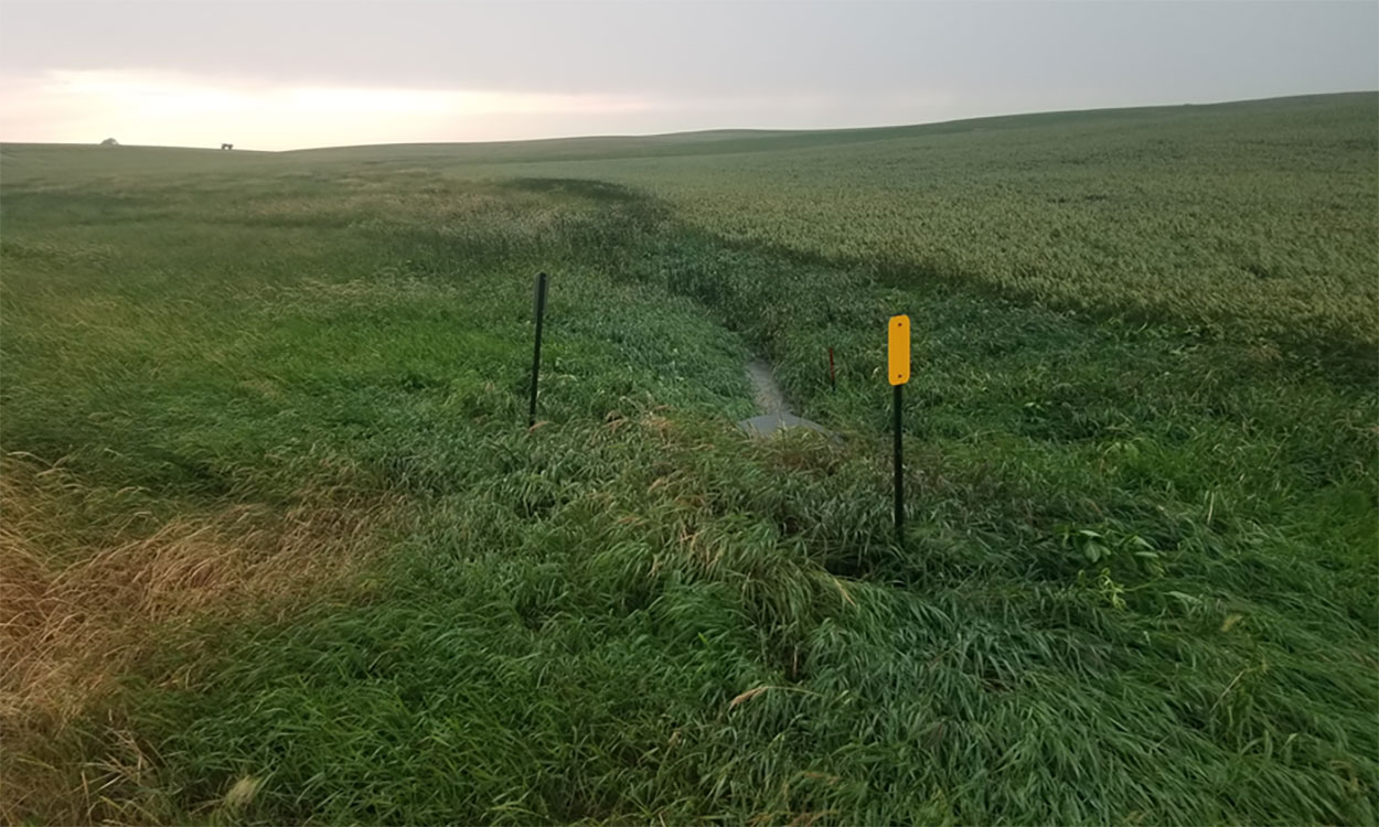
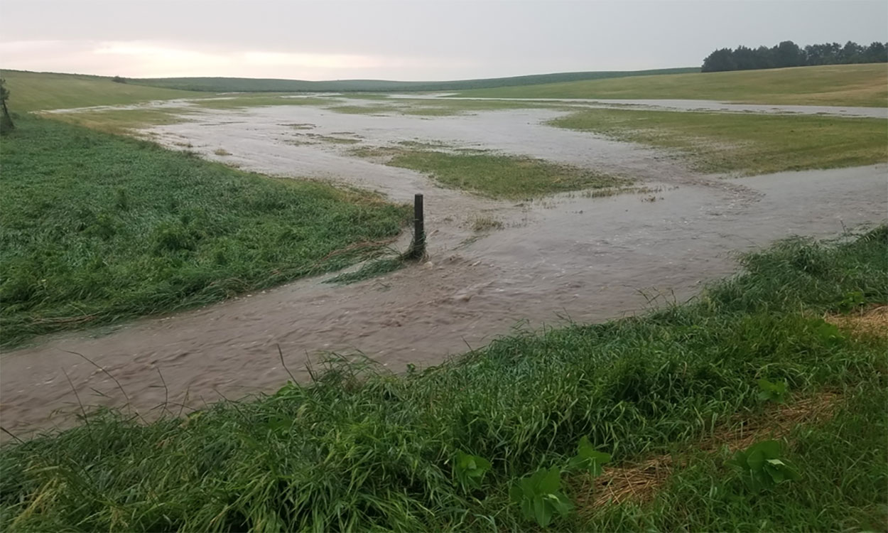
Two examples are included in this discussion. The pictures above show two watersheds that are next to each other, Blue (A) and Red (B). The Blue (A) watershed is mostly long-term no-till with a diverse crop rotation, cover crops and waterways. The Red (B) watershed has been conventionally farmed with only one tillage pass this year and a Fall anhydrous ammonia applicator pass the previous Fall (2021). The pictures show the runoff from each watershed approximately 30 minutes after the main rainfall occurrence. During approximately 1.5 hours, 3.92 inches of rain measured in a gauge located ½ mile from these watersheds. The difference in the amounts of run-off water is astounding! Compare Figure 2 and Figure 3 that correspond with the Blue (A) and Red (B) watersheds.


Post a comment
Report Abusive Comment